 | CANADA |
WOOD ISLANDS FERRY
Turning off the Sunrise Highway, I headed down to the ferry terminal. I was disappointed to find that there was a long wait for the next crossing. Well, at least this gave me a good opportunity to make a major exploration of the docks.
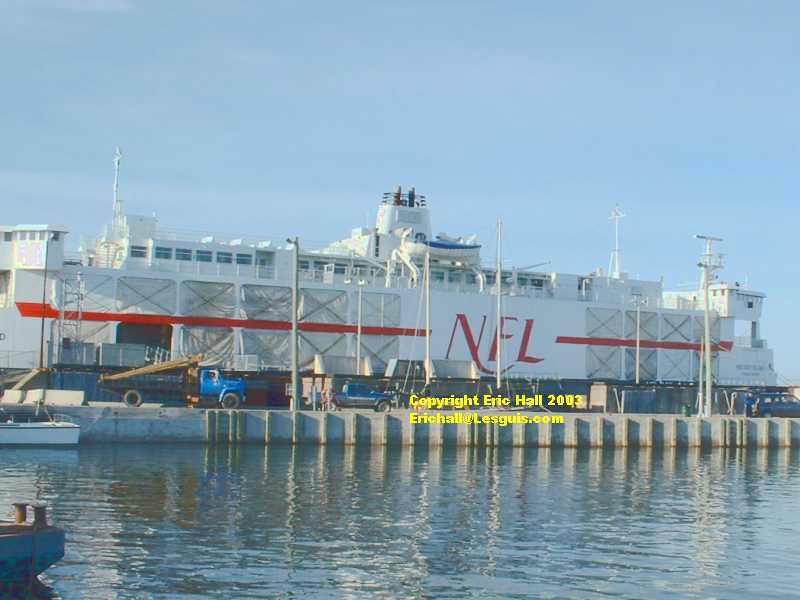
Here, laid up out of season, is the summer relief ship, the "Holiday Island".
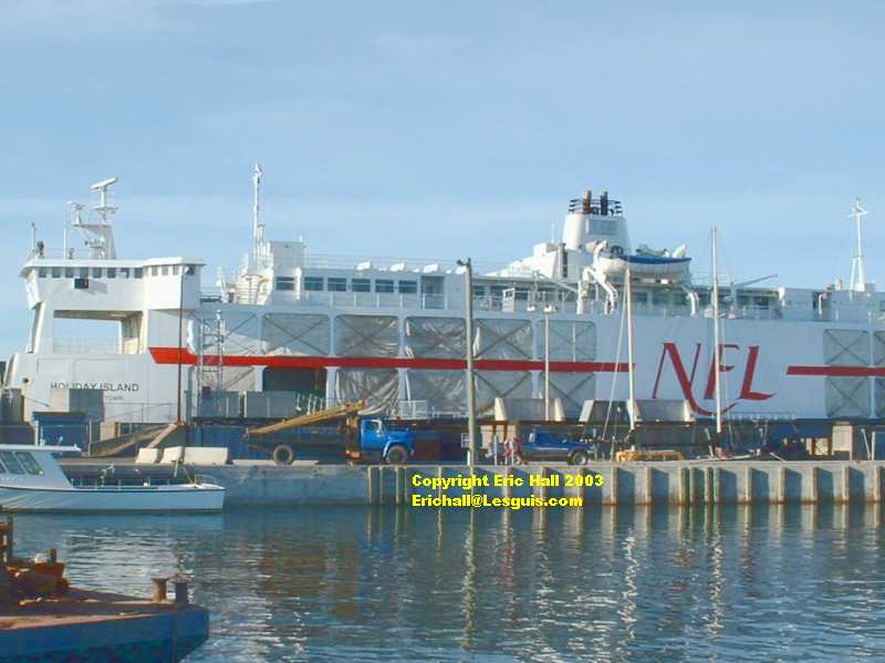
The "Holiday Island" was built in 1971 and is 100 metres long. Its displacement is 2775 tonnes. If you're a European used to travelling on P&0 or Seafrance, that's not much bigger than a lifeboat. On the other hand, if you're used to travelling on the North Carolina ferries, then it's flaming enormous.
It is in fact one of the "ice cutters" from Cape Tormentine made redundant by the opening of the Confederation Bridge, and transferred to this route in 1997.
After a good walk round the harbour and a hot mug of coffee, it was time to go back to the car. The ferry was coming in.
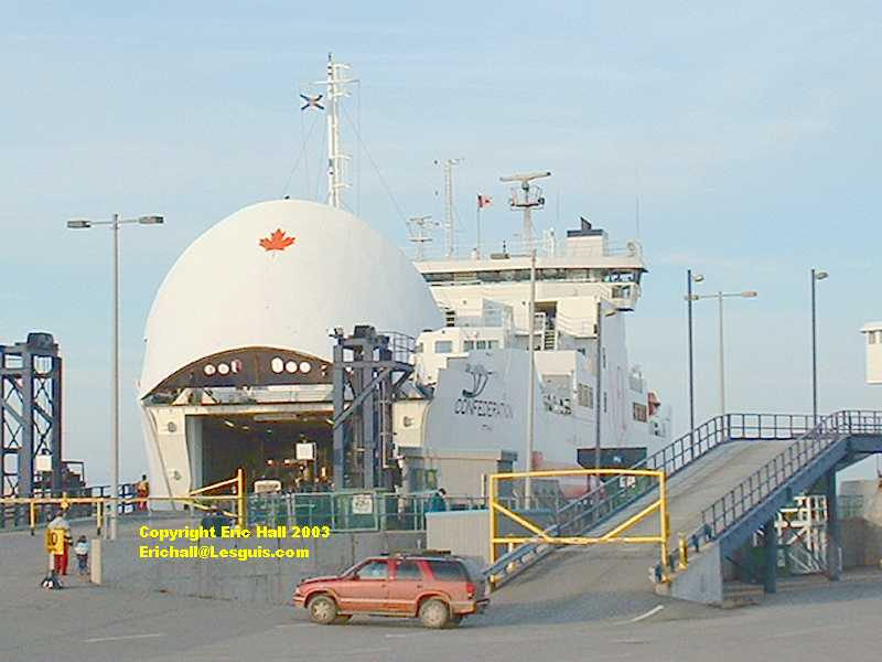
I just had time to get another shot of the "Holiday Island" as the "Confederation" steamed into port, bow door raised, to discharge the voyagers from Prince Edward Isle and load us up for the return journey.
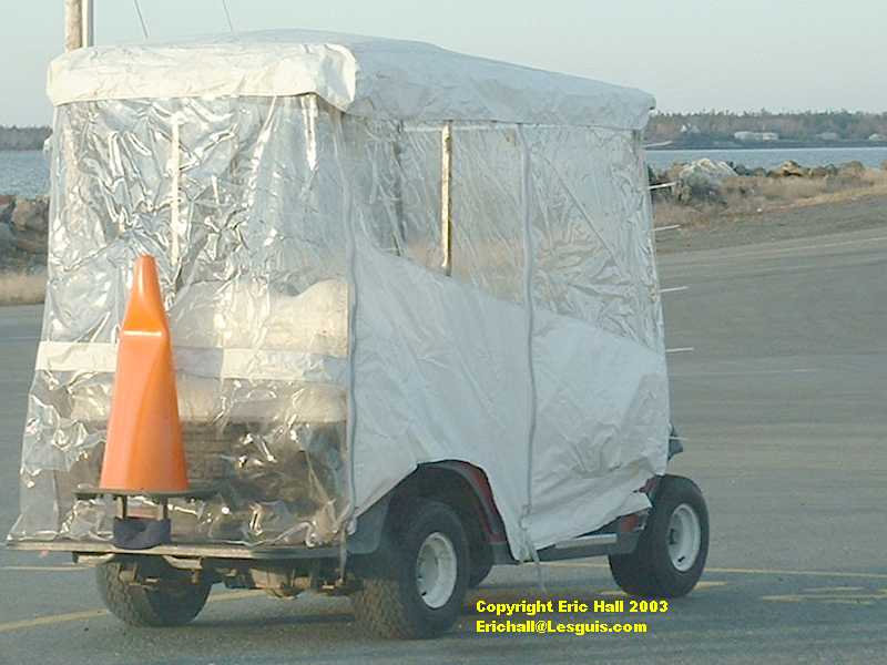
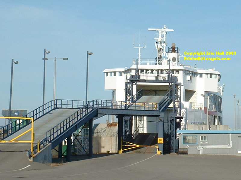
Once the ship had unloaded, we formed up in a line behind the pilot car, a little microcar, and were waved off onto the ship.
Rather unusually, and somewhat disconcertingly, cars were carried in the hold of the ship below the waterline - they drive in at just above the waterline and then down a ramp inside the ship to the car deck. Then the ramp is raised up to close the cars in, and trucks and buses driven over the top.
Then it was up the stairs to find the coffee.
The "Confederation" is quite modern, having been built in 1993 but had nothing of the comfort that a seasoned European cross-Channel ferry traveller might expect. All there is by the way of facilities are a restaurant and a television lounge, with a games room upstairs (so they say - and I wonder what games they get up to out here). It was quite sufficient for the 75-minute crossing, and all for 49.50$ Canadian or £25 sterling, which makes the price of a cross-channel ferry (sometimes ten times that for the same length of time) look nothing but daylight robbery.
But don't get me started on this subject because I can go on all night as I have done in the past
"Not with a bayonet in your neck, you can't" - ed
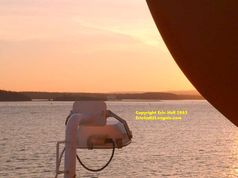
Once loading was complete the ship set sail with its bow doors open (obviously news of the "Herald of Free Enterprise" disaster never reached as far as here) from Caribou into the sunset. There was a safety announcement, but it was drowned what an unfortunate turn of phrase out by the noise of the television.
Seasoned travellers on European ferries know that instructions are given to the passengers by a series of blasts on the ships' sirens, the codes being read out to the passengers before the ship sets sail. I can't remember all of them, but it goes something like :-
"One short blast means move to an assembly point"
"Two short blasts means put on your life jackets"
"Three short blasts means take to the lifeboats"
"One long blast means that the siren is stuck"
The ship didn't change direction once out of the harbour but steamed straight across the Northumberland Strait to Wood Islands, backwards to the way it had arrived at the dock. Obviously the "Confederation" is a reversible ferry that sails equally well whether going forwards or backwards.
The night fell pretty quickly and it was soon dark. It was cold and there was quite a wind blowing off the Straits.
75 minutes is not a long time to spend however - it soon passes while you're having a coffee and a good warm, and it seemed no time at all before we arrived at the Wood Islands terminal on Prince Edward Island
It was absolutely pitch-black on Prince Edward Island, so I drove straight to Charlottetown without stopping or having a look around.
CHARLOTTETOWN
I quite liked Charlottetown. It was a nice place to visit. First settled in the 1760s as a "laid out" planned town, it was incorporated as a city in 1855. Its claim to fame is that here the important dignitaries of English North America met in 1864 to sign the agreement to form the Confederation of Canada with effect from 1867 (Prince Edward Island itself didn't join the Confederation until 1873). It's the capital of Prince Edward Island and the home to 32,000 inhabitants.
I had a good drive, and later a good walk around the city. It seemed to have retained much of its original character and history - typical Victorian stone buildings and a nice waterfront, now a thriving and active commercial centre compared to 10 or 15 years ago when it was fairly derelict.
Charlottetown is quite popular with Japanese tourists who come here to look for "Anne of Green Gables", which, for reasons best known to the Japanese, is quite popular in Japan.
On my wanderings I came across a bar that sold "Boddington's" beer, presumably all the way from the Strangeways Brewery in Manchester. Who'd have thought that! Almost made me wish I could still drink alcohol these days. No prizes for guessing where I'd have stopped for a pint! I also saw a Volkswagen Passat estate car the same model as mine and the same colour too except that the North American version has smaller headlights and a grille that wraps around them.
I couldn't resist a meal in the Lebanese restaurant that I found in the city, either. The only one I encountered in the whole of my travels. In fact in the Maritimes, "ethnic" restaurants are few and far between.
One thing I haven't worked out though - how come I didn't take any photographs. Being dark has never stopped me before - neither has the cold (and it was absolutely freezing here). Ordinarily I might even have gone around next morning for a few pictures in the light. Ah well!
Next morning was cold, overcast and wet. I decided to head out along the northeastern shore of the Hillsborough River and make for Campbell's Cove and East Point.
NORTHERN PRINCE EDWARD ISLE
First stop however was York, and the world-famous Vesey's Seeds.
Well, having finally got to visit Vesey's, all I can say is that I was sooooo disappointed with what was on offer there. The shop was full of Christmas decorations with only maybe a dozen packets of seeds on offer while the agricultural machinery department had no more than 20 machines of all types on display. The seed catalogue was out of print, so I left my name and address with them so that they could send me one from the new print run "early in the New Year". We shall see.
In fact, my suspicions were well-founded. By the time I came to put this site on line (May 2004) I still hadn't received the catalogue.
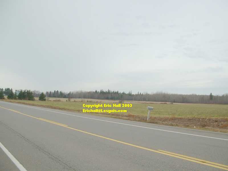
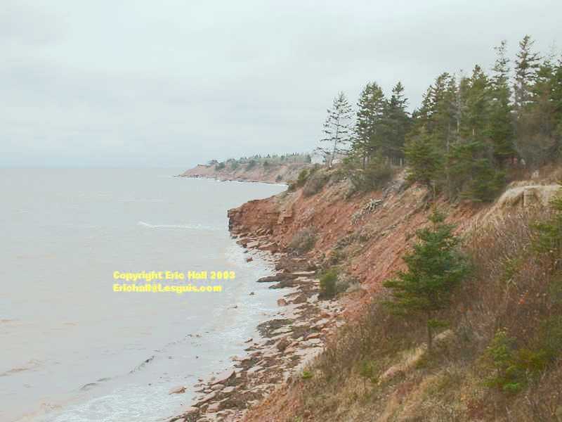
The centre of Prince Edward Island is all neat lawns and tidy fields, with plots of trees making up the remainder - certainly nothing like the rest of maritime Canada which is almost all forest with a plot of cultivated land or a field set in the middle. You can get an idea of what I mean from this photograph of typical Prince Edward Island scenery.
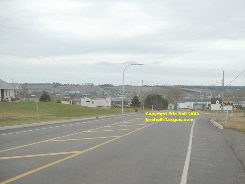
The further east from Charlottetown I drove though, the more trees there were, and there was more evidence of logging being undertaken, although nothing like as much as in New Brunswick or Nova Scotia. There are few hills on Prince Edward Island, and it's thoroughly criss-crossed with roads of all sizes going just about everywhere, most unlike the rest of maritime Canada.
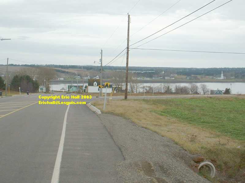
An uneventful drive along the Kings Byway Scenic Drive brought me to St Peters.
In the past this used to be an important sea port and railway town. Today, the railway has gone and the ships have gone.
The sea inlet here however retains some of its importance as every Spring it attracts fishermen from all over who come to catch the celebrated sea trout.
Important archaeological discoveries of artifacts over 9,000 years old were made here here in the 1980s
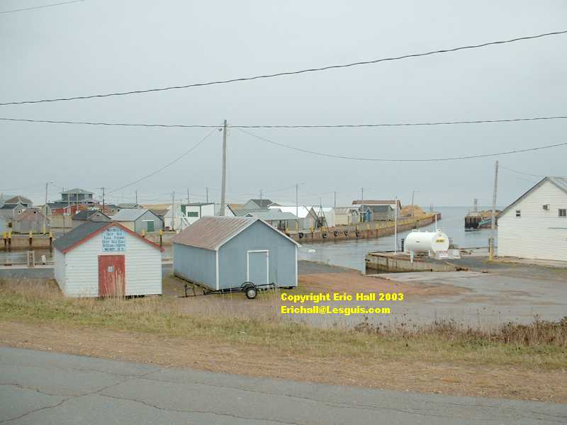
A few miles further along the Kings Byway, I came to the township of Naufrage and its harbour.
There were dozens of huts and small wooden buildings in the harbour all connected with fishing and other seafaring activity, yet not a single person was in sight. All the buildings were closed up so maybe every person and every boat was out working. There was certainly the air of a very active fishing harbour.
Mind you, I don't think the weather was helping very much. It had turned even colder, and I was sure it was going to rain quite heavily again.
From Naufrage, I followed the Byway eastwards along the coast to the Cambell's Cove Provincial Park. There are Provincial Parks all over Prince Edward Island around the coast. They are mostly seaside campgrounds all laid out with shower facilities and so on for the recreational vehicle tourist. Campbell's Cove is no exception. It can't be much fun here on the island in the summer season
This is another photograph of the Campbell's Cove Provincial Park.
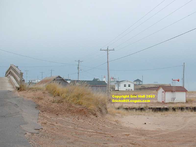
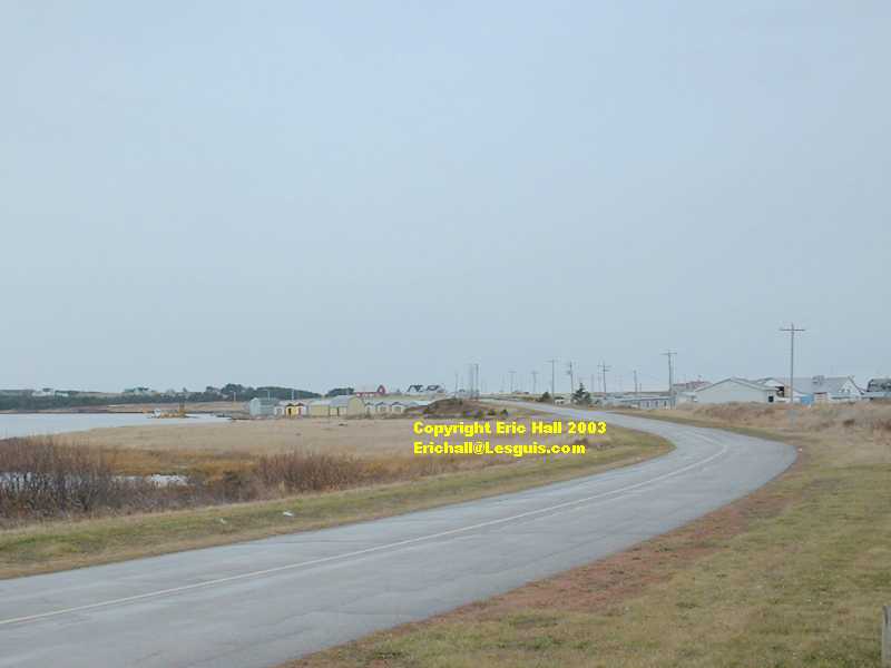
All along the north shore of Prince Edward island there are small fishing harbours.
This one is North Lake Harbour. It's once again practically deserted. There are the usual fishing buildings all locked up and with no-one around, and also a small fish-processing plant.
There's also a memorial to a French Acadian, Antoine Detcheverry, who avoided the 1758 expulsions by fleeing to the forest. His descendents held a reunion here in 1993 and erected a cairn in his memory
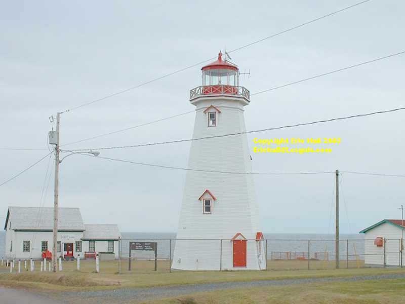
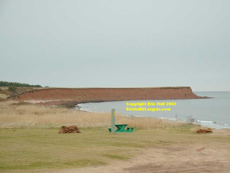
Just a couple of miles further on, there's East Point. This is the point farthest east on Prince Edward Island, and only marginally short of being the most northerly point (that's Beaton Point, only a stone's throw from here).
East Point is famous for its lighthouse, built in 1867. Its claim to fame is that it has been moved, bodily, on several occasions as its site has become threatened by coastal erosion. Just as well it's made of timber and not stone.
Now unmanned, the lighthouse serves as a museum and the keeper's house as a gift shop. Needless to say, everywhere was closed up when I visited it.
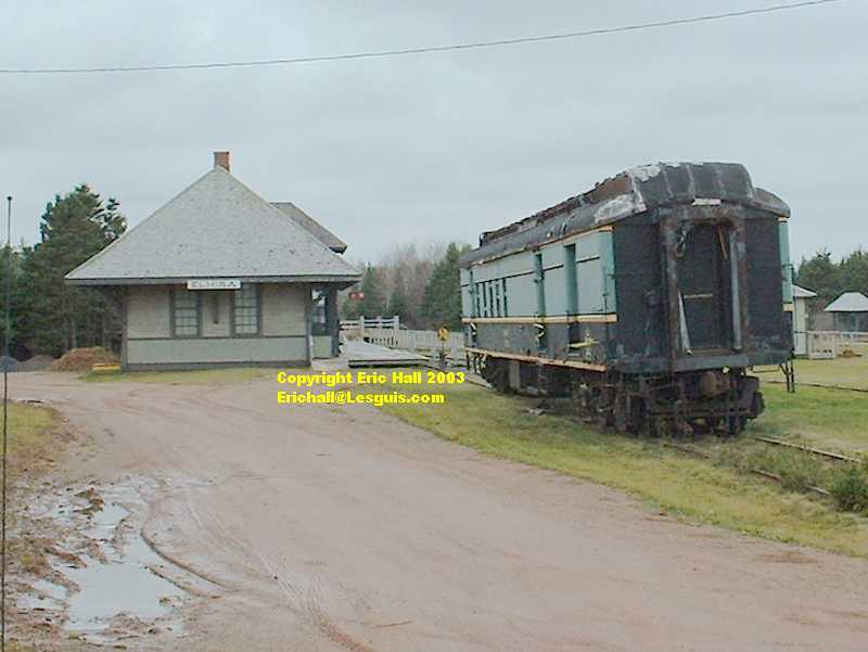
Just a couple of miles away is the village of Elmira and the site of the Elmira Railway Museum.
Prince Edward Island is another place where the railway lines have all been pulled up. At one time there were 250 miles of track and 121 stations according to their website. Interesting to note that the first part of the museum they mention is the giftshop. Here at what seems to be the old eastern terminus there's a sort of railway museum with one derelict Canadian National railway mail carriage (but no engine again).
It has to be said that the purpose of building a railway line here in the first place totally defeats me. The terminus was out in the countryside with no mine or fishing port or factory, and from what I've seen, the agricultural produce of the region wouldn't really merit a ralway line of its own. How it survived closure until 1972 would seem to be a mystery. It was in fact the enormous debt from the construction of the railway system that led to the Island changing its mind and joining the Confederation of Canada in 1873.
Shortly after this, a storm broke and it started to rain. And how! I fled to the town of Souris 15 miles down the road and bought myself some lunch. A nice town was Souris, but not nice enough for me to get myself drenched in wandering around taking photographs. Instead, I sat in my car on the water's edge in the little car park at the bottom of the hill just on the town limit, and ate my sandwich.
It wasn't until much later that I learnt that there was a daily ferry service that sailed from here for the Isles de la Madeleine in the St. Lawrence estuary - a nice five-hour crossing. I was really sorry I missed out.
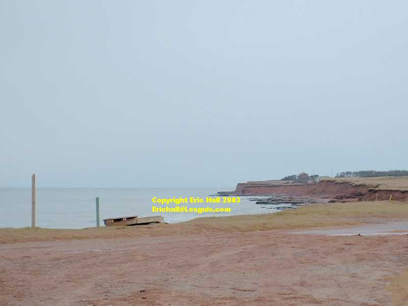
The storm continued as I drove south, and didn't start to clear until I'd arrived at Murray Head, at the mouth of Murray Harbour. First time in the last hour that I'd felt like getting out of the car.
Down at the end of a short dirt road, there are low cliffs (about 10 - 15 metres high) of sandstone which lead onto a nice isolated beach. It's supposed to be a good spot for observing seals and pilot whales, but there was nothing doing here this afternoon.
Back into the car, and retrace my steps a short distance down the track to the Cape Bear lighthouse.
CAPE BEAR LIGHTHOUSE
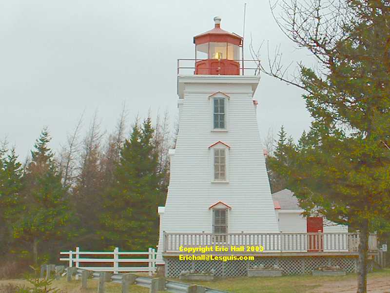
Here on the left is the lighthouse. There was a Marconi radio station here from 1905 to 1924, with a claim to fame that it was the first land station to pick up the SOS of the Titanic as it was sinking in 1912.
The lighthouse itself was built in 1881 and is 12 metres high. Still working but now unmanned, the lighthouse is today (surprise, surprise) a giftshop and museum of local affairs and of the former Marconi station. For one reason or another it was very popular with German U-boats in the Second World War and several were observed from the lighthouse.
In fact there was a great deal of U-boat activity in the St. Lawrence estuary and quite a number of ships were sunk, including the S.S. Caribou, a passenger ferry plying between Newfoundland and Nova Scotia, in October 1942.
The U-boats even landed a party in Martin Bay, Labrador in October 1943. They installed a remote weather station that converted the readings of the instruments into morse code, and then transmitted them automatically by morse code. When you think that this was long before the days of computers, it is nothing short of amazing.
As for bears, there are no longer any on Prince Edward Island. I found that thought rather unbearable.
From Cape Bear, there wasn't really much else to visit in eastern Prince Edward Island with the time I had available, so it was back to Wood Islands and the ferry to the mainland.
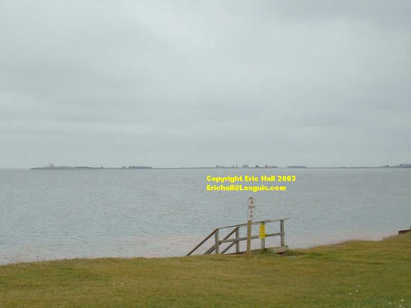
I couldn't miss the opportunity to visit another provincial park, however. This one is the Northumberland Provincial Park. You can get a good view from here across to the Wood Islands ferry terminal. A quick snap, and then off to the terminal. I was cold.
At the ferry terminal, I had to pay for the crossing. The outward journeys are "free" and you only pay on leaving the island. I imagine that many people would be tempted to cross over to the Island by the ferry for the views and the relaxing break, yet return to the mainland via the Confederation Bridge where the toll is 10 dollars less.
I've no idea why I didn't take any photographs of the terminal. It wasn't that dark when I arrived. I must be slipping. Mind you, it was when the "Confederation" arrived. It was pitch black.
On this crossing the cars were parked on the lorry deck as there was insufficient traffic to need to open up the hold (the 10 dollar difference obviously doing its stuff). The safety message in the cafeteria was again drowned out by the sound of the television and other background noise - one can't help thinking that they haven't ever had any serious problems with the crossing and that maybe there is a disaster lurking around the corner somewhere that might shake them out of their complacency.
I have to admit a slight sense of relief when I arrived on terra firma. As far as I am concerned, the more firma the less terra.
©