 | CANADA |
BLANC SABLON AND BRADOR
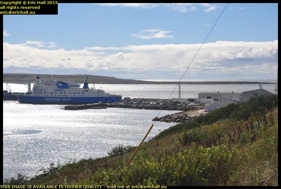
After all of my vicissitudes I finally manage to make it onto the MV Apollo and we set sail for the Coasts of Labrador. And after a heary breakfast of coffee, four rounds of toast and a plate of hash browns, I'm now all ready for anything.
That includes a couple of chats that I had, one with a German guy in an ancient New-Brunswick-registered Dodge Caravan from Woodstock (the Caravan, not the German) with a spare wheel strapped to the top, and another with an older guy who was heading out to Goose Bay.

But I needn't have bothered - at least, not in 2014. You wouldn't think that the sailings had been held up because of storm-force winds up and down the Strait of Belle Isle when you look at what I'm encountering here.
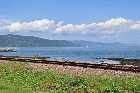
The Coasts of Labrador (well, we're actually in Quebec right here) are blanketed by a huge blanket of fog that has rolled in from the sea
We are definitely having one of these "what I saw on my holidays" moments and I'm feeling rather cheated.
No such issues awaited me in 2015 though. We were having some terrific winds of course but the MV Apollo was sailing and we were having some really beautiful weather for a change. It'l lgive me a good chance to catch up with all of the photos that I missed last year in the fog.
And here's a thing that has puzzled me.
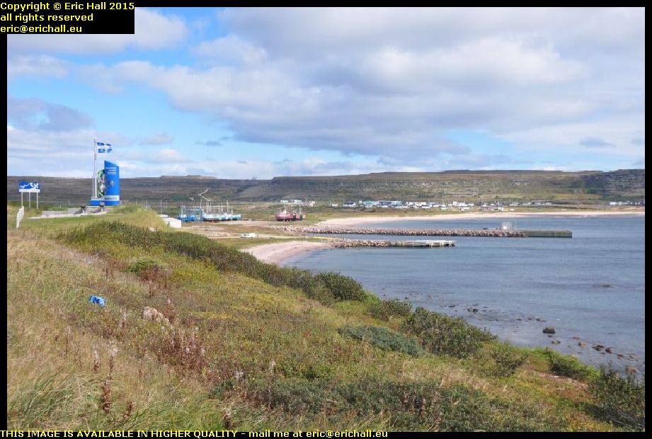
As far as I know, the port here at Blanc Sablon is in Quebec, and yet a couple of hundred metres further on there's a display of flags and symbols to tell me that I'll very shortly be entering the Province of Quebec.
Does this mean that the area around the docks has been ceded to the Province of Newfoundland and Labrador? After all, the ferry service and the infrastructure are all subsidised by the Provincial Government of Newfoundland and Labrador.
Or does it mean that the Province of Quebec couldn't find a better site to stick their flags and symbols?
But returning to our story for the moment, I'm sure that you'll all be wondering what it is that I'm doing over here. And the answer to that question is two-fold.
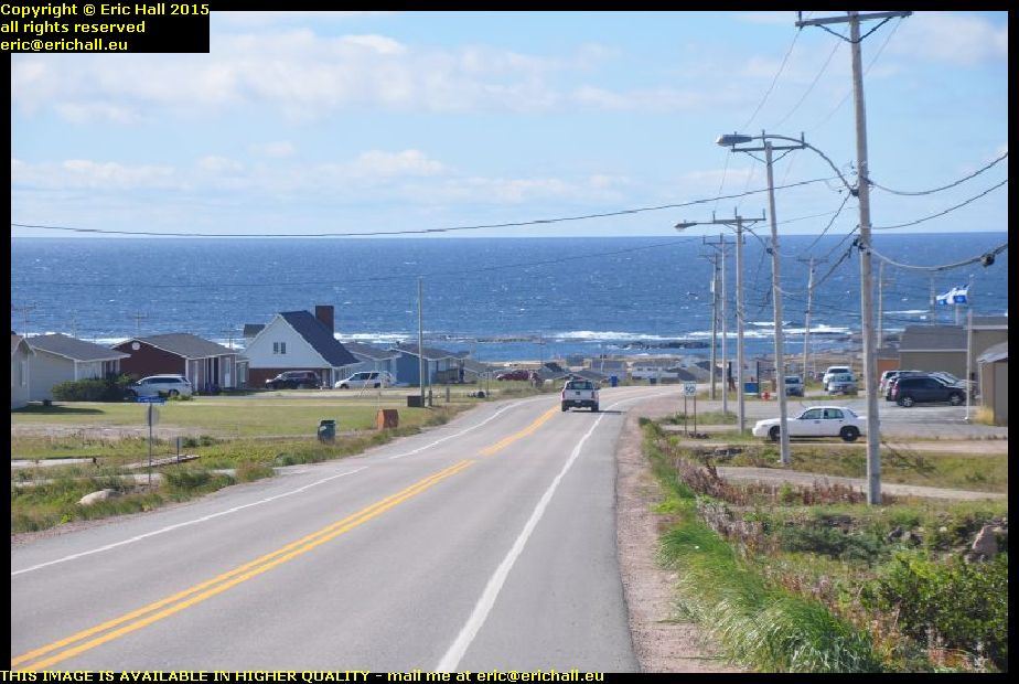
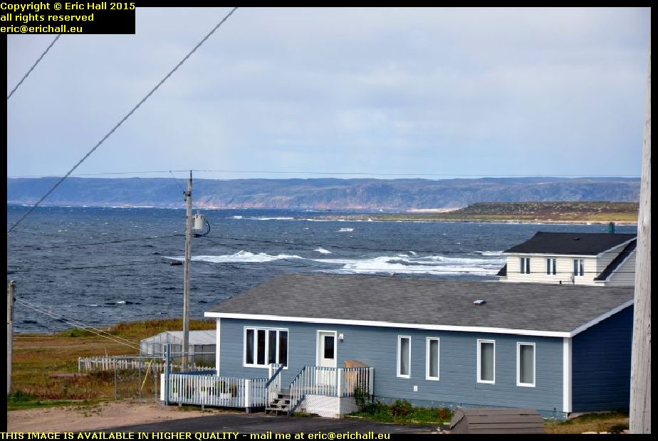
And so at the T junction down at the end of the road, I'm turning left and down the hill towards the township of Lourdes de Blanc Sablon, with a beautiful view over the bay.
Lourdes de Blanc Sablon is the largest settlement in the immediate area. It's another one of these places where a landing has been claimed by Jacques Cartier on his 1534 voyage. Almost every municipality around the Gulf of St Lawrence makes a similar claim, but Cartier's description of the white sands that he saw gives this claim some credit.
Around the headland there's a good view across Brador Bay, although there isn't a really good place to park to photograph it.
I end up parked outside a pizza place while I nipped over the road for my photo, and I should really have looked at the menu to see what pizzas were on offer here. I start to have a couple of amusing thoughts about that, such as "crunchy caribou", the "moose and bear bonanza" and the "seaweed special".
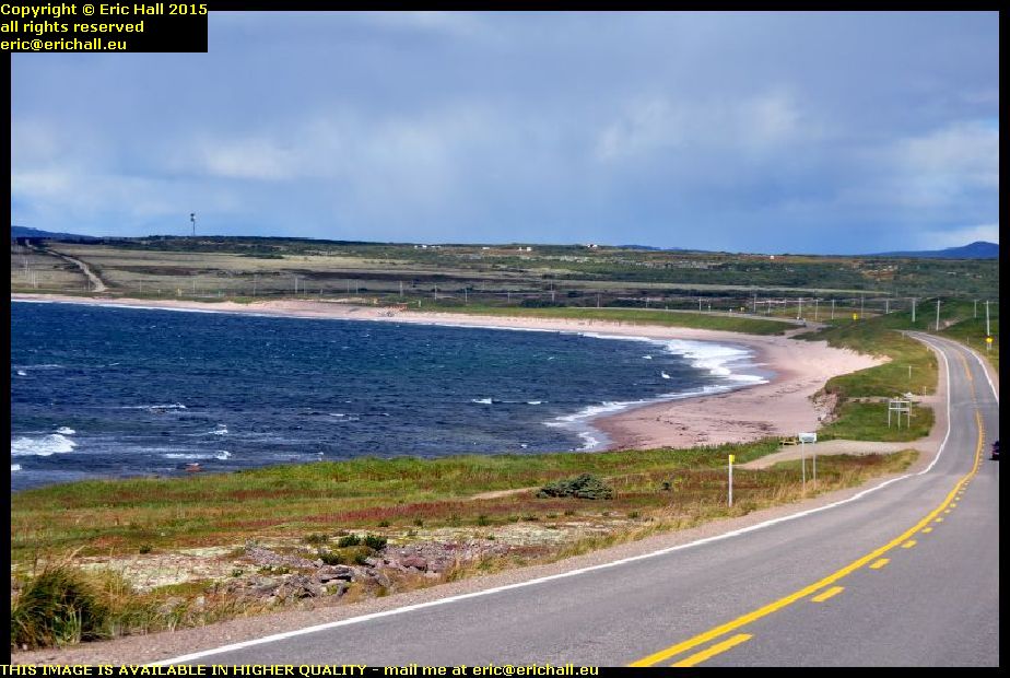
I drove on further around the bay and there was a much better view from there. And you can see why Jacques Cartier made some kind of comment about the sand here because it really does look good.
But the name of the bay is significant, as far as modern politicking goes, because it admits of a connection between this area and the old idea of the "Coasts of Labrador". The border between the Province of Newfoundland and Labrador and the Province of Quebec was never definitively settled until 1927 (and the Province of Quebec still doesn't accept the decision).
But most of the population in this isolated region of Quebec is anglophone and considers itself to be consequently starved of resources as a punishment. There's a movement afoot, led by the mayor Armand Joncas, for the area to secede from Quebec and rejoin Newfoundland and Labrador.
Re-secede is probably a better word, because this area WAS part of Labrador beween 1763 and 1774 and again from 1809 to 1825
The Quebec authorities for their part point out that the area was previously a French concession awarded to Augustin Legardeur de Courtemanche at the beginning of the 18th Century and he erected a fort, Fort Pontchartrain, here in 1704.
However, this overlooks the terms of the subsequent peace treaties signed by the British and French, especially that of 1763 which opened up the area to Anglophone settlement.
The final (for the moment) word must be left to Alberte Marcoux, one of the bigwigs of the Tourism Industry around here. She once said of the Quebec Government
"They're not trying because we just don't matter to the rest of Quebec. We're seen as too small and too far away."
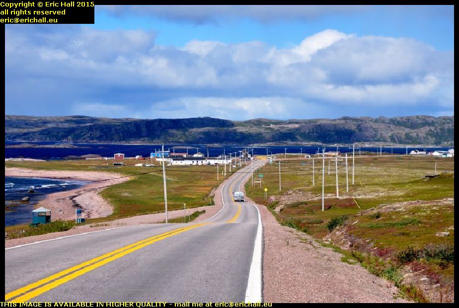
It was late evening in 2014 when I found myself heading back towards Brador Bay from my trip down to Old Fort (where we'll be going in a moment) - you can tell that its the return journey from the side of the road on which the car is parked.
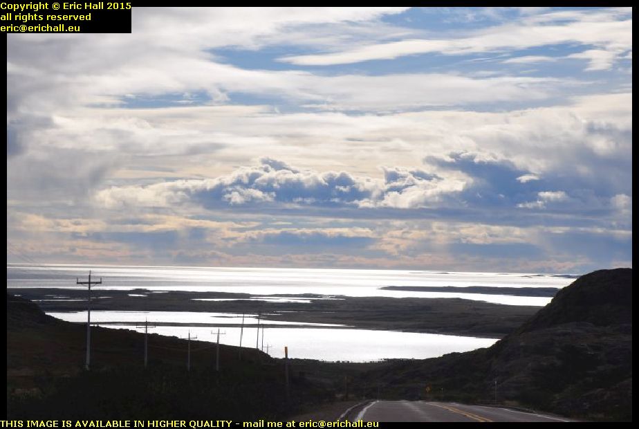
I could see the sun settling down over the headland out there during one of its brief appearances during the day, and it really was a beautiful sunset too. I was going to start having to look for a place to park up for the night.
Somewhere out there about a kilometre or so offshore is an island called Greenly Island.
It has a claim to fame in that on 13th April 1928 a Junkers W33 aeroplane, called the "Bremen" made an emergency landing on the island. It had taken off the previous day from Ireland in an attempt to make the first east-west Transatlantic flight between Europe and New York, but had run into difficulties.
The aeroplane was unable to take off after repair and so was dismantled and the valuable equipment removed. Later, the aeroplane was recovered and fully-restored and is now on display at Bremen airport in Germany.
JT Meaney however tells us a different story. He wrote in 1937 that after the valuable equipment had been taken away, the rest of the aeroplane was abandoned on the island and was looted by
"visitors who carried off everything moveable for personal use and souvenirs".
Yet another story is told by van Hoorebeeck in his book L'Epopée de l'Atlantique Nord. He tells us that the aeroplane landed with its landing gear buckled and propellor twisted. The damage was repaired and an attempt was made to take off but the pilot, an American named Melchior, overturned it and the aeroplane was badly damaged.
It was round here too that in 1968 someone called Rene Levesque found some traces of Basque artefacts, and he came to the conclusion that this bay might have been the site of the legendary settlement of Brest, about which we shall talk in due course.
However, the site was excavated by archaeologists from the Smithsonian Institution's Arctic Studies Centre in the summer of 2014, and they concluded that the site was an Inuit village with Basque artefacts that had been recovered and recycled by the inhabitants

I found a nice spot at the harbour at Brador that night. It was sheltered out of the wind behind this rocky bank. There were facilities available in a wooden hut that was here at the top of this flight of steps, and they were open too.
This will do me fine. I could cook myself a meal inside the Dodge and then settle down for the night on my camp bed in the back and not much would disturb me.
I was not alone here for the night anyway, I had a fishing boat to keep me company.
The wind can rock us all to sleep together.
©